DRONES FOR DOT
ECU researcher highlights increased safety, efficiency of UAV use
A team of East Carolina University researchers has shown how the N.C. Department of Transportation can use unmanned aerial vehicles to increase safety and efficiency.
Dr. Zhen Zhu, associate professor in the Department of Engineering, received a $217,432 grant to look at advanced applications of UAVs and to develop a training workshop for the DOT.
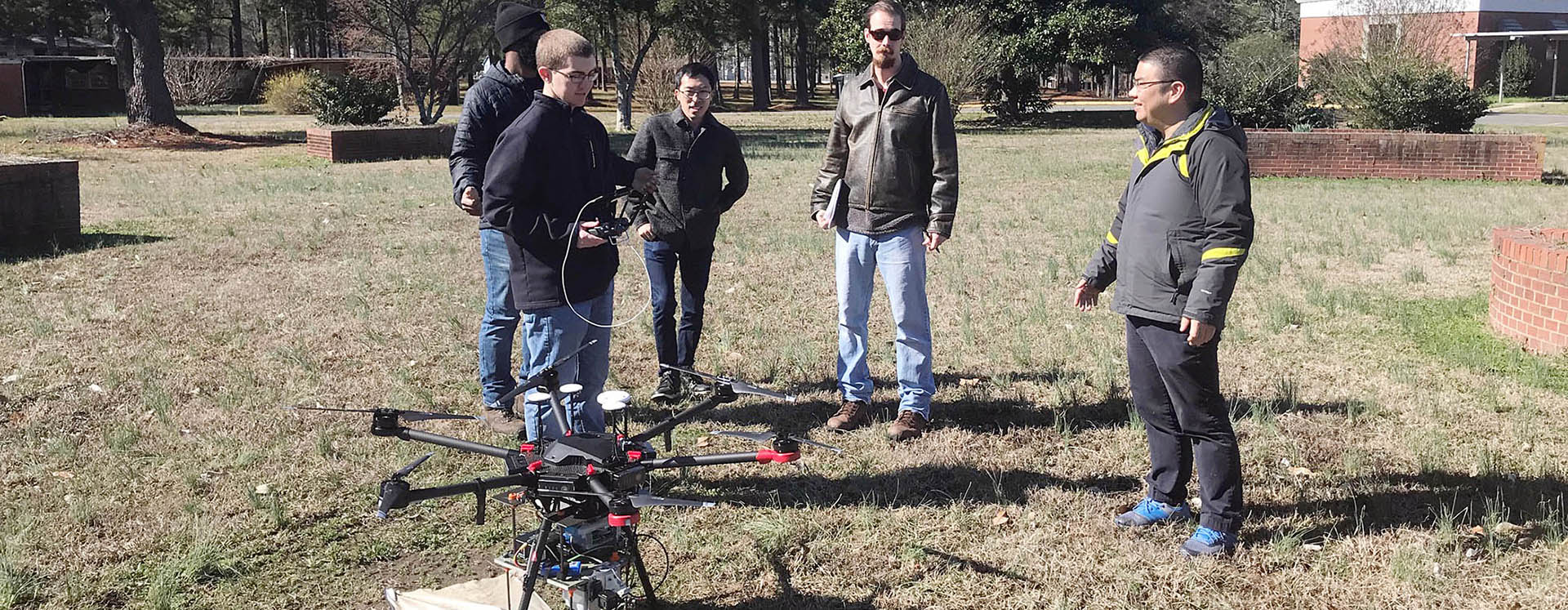
A UAV with a laser scanner could help the Department of Transportation survey quickly and safely, according to Dr. Zhen Zhu, associate professor in the Department of Engineering. (Contributed photo)
“The DOT wanted to know what kind of real advantage they would have using UAV-based laser scanners or cameras, and they wanted us to help them on using the right solution for the application,” Zhu said.
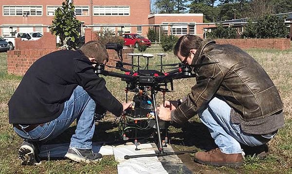
He said the team looked at construction sites, bridges and coastal areas, using laser-based and camera-based technologies, producing 3D models of each.
“We were studying the limitations of both kinds of technologies,” Zhu said. “In the end, we were able to show that in some applications the laser would work better, and we were able to give them a definitive answer of how much better comparing both technologies.”
Zhu said one example of where the UAV laser technology helped was in the measurement of raw material piles in DOT’s maintenance yard in Pitt County. DOT personnel would have to manually climb the piles to determine the amount of material available, taking time and creating potential safety issues.
“What we told them is that if they fly a UAV installed with a laser scanner, using our technology, they could get the whole yard done in just a few minutes, and no one has to climb up anything,” Zhu said. “And we proved to them that the accuracy was far better than what they are getting now. They could do it as often as they want. Right now, they only do this once per year. Our technology is less expensive, it’s a lot more accurate and they can get it with much higher resolution.”
Zhu said another application of the technology is to use UAVs to survey bridges after floods or hurricanes to determine structural integrity.
“The drone can actually measure the location of the base structure and the shape, and you can compare that against the design. You can actually compare to see if any part of the structure has moved or not,” he said.
The bridge selected for the study had not experienced any flooding in the last three years, so the team compared it to the original design. Zhu said there was no way to determine if the bridge was constructed to exact specifications, but still, “The design said two piers are 33 feet apart exactly, but the laser scanners said they are apart 33.13 feet.”
He said the technology could also be used to survey coastal areas for damage after hurricanes and storms.
“We can tell you how much a sand dune has changed,” he said. “And the whole process can take 10 minutes and costs virtually nothing except for a few hours of computer time.”
Zhu said the goal of the study was simply to show DOT officials the capabilities of the new technologies and the associated risks and costs as compared to other survey methods.
“Our goal is for them to understand what it takes so they can go out and purchase equipment or hire professionals for these tasks,” he said. “The idea was not to sell them a service or a product but to really tell them, based on our study, this is how you can make your decision.”
Zhu said faculty and students from the departments of engineering, construction management and geography participated in the research.